|
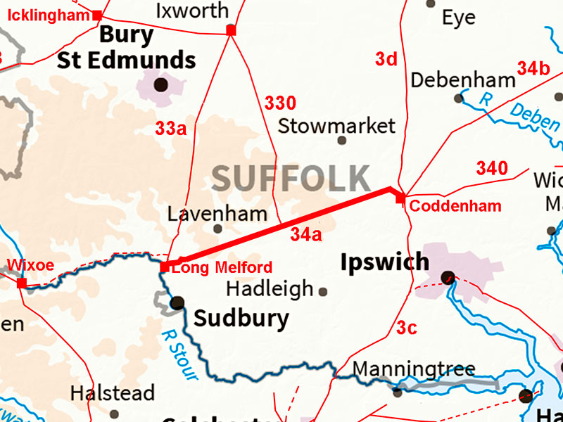
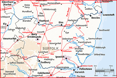
The Roman Road from Coddenham to Long MelfordMargary Number: 34aDistance: 16.5 milesOne of Suffolk's straightest Roman roads linking the two settlements of Coddenham and Long Melford. The incredible straight alignment of this road is for some reason not on Coddenham but to its north. The first half of this road as far as Bildeston was part of Iter IX. |
Historic Counties: Suffolk Current Counties: Suffolk HER: Suffolk
|
|
|
|
|
|
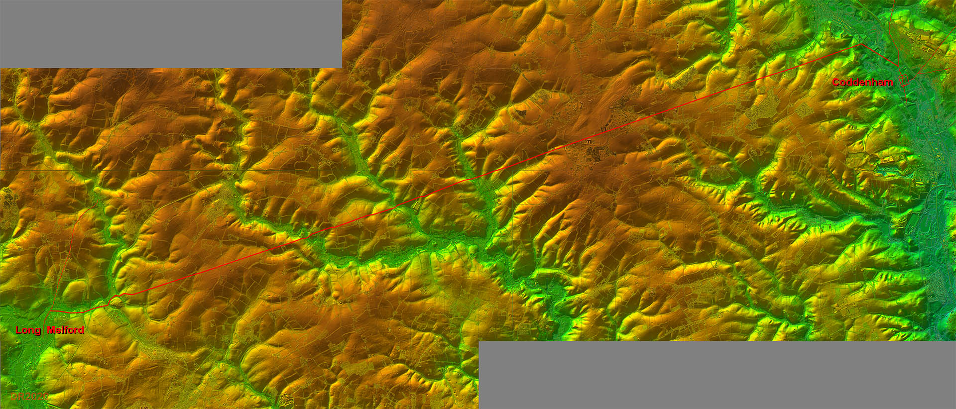
Lidar Image - Full Route Apart from the dog-leg at the start, the route could not have been straighter. A little bit of uncertainty at the Long Melford end for its final approach. |
Click for larger view
|
 |
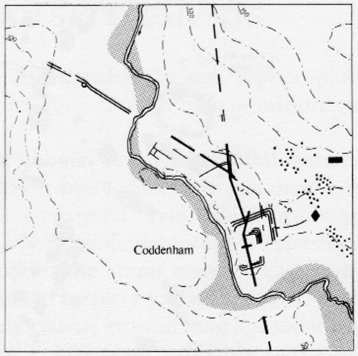
Coddenham Site Plan - Moore The start of the road is puzzling and this is all we have to go on - Moore's plan showing a road heading north-west. This can only be our road but it would need to turn onto the main alignment at a suitable (high) sighting point - see below. Reference: The Archaeology of Roman Suffolk, Moore, Plouviez and West, Suffolk County Council, 1988. |
Click for larger view |
 |
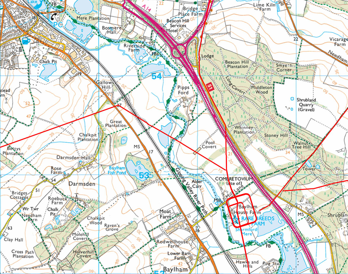
Gallows Hill - Bing Map The route from Coddenham seems to have been probably set out from Gallows Hill at a height of 27 metres or perhaps alternatively a back sight on Beacon Hill was used. Which ever it was the chosen spot it is off-line so there must have been a good reason - but what? I could find no direct connection to Margary 34b. |
Click for larger view |
 |
Lidar Image and Route Map 1 From Gallows Hill the very straight alignment begins and heads through Wattisham Airfield. |
Click for larger view |
 |
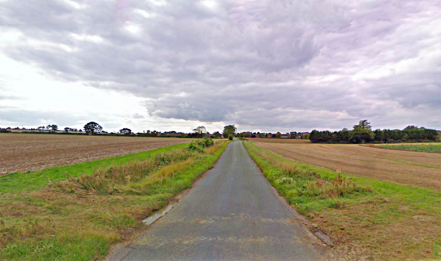
Roman Road approaching Wattisham Airfield Appropriately named Roman Road heading towards Wattisham Airbase. The road obviously went through the airfield and is now severed but re-emerges on the other side as Needham Lane. The latter is now just a footpath. Image: Google |
Click for larger view |
 |
Lidar Image and Route Map 2 The actual junction and route at Bildeston is perhaps speculative. There are some Lidar traces that it more or less went straight on rather than deviated into the village. |
Click for larger view |
 |
Oblique 3D Lidar Image - Bildeston The junction with the road down from Ixworth could be on the west side of the river (shown) but it could be on the east side covered by the modern road. Hard to be certain. |
Click for larger view |
 |
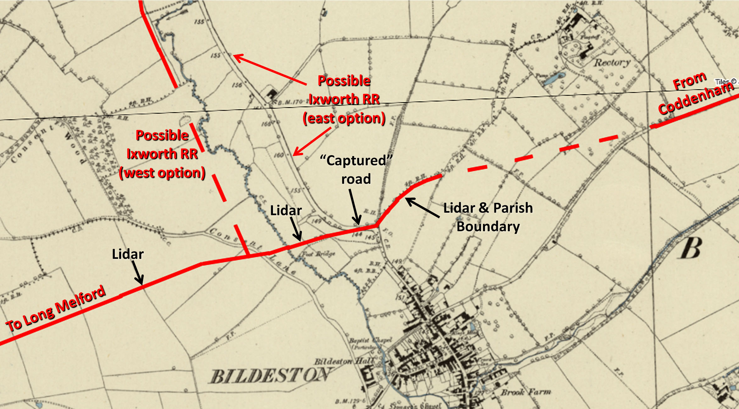
Route at Bildeston - Ordnance Survey First Edition Map I think we can confidently confirm the course of our road passing Bildeston . There is sufficient Lidar evidence plus a parish boundary and probably a captured road. Note a "captured" road is where a modern road dog-legs to make use of an existing Roman road for a short section. Quite common. I am still not certain on the Ixworth road perhaps 60% west and 40% east. My thanks are due Robert Lindsay for his local knowledge and assistance here. |
Click for larger view |
 |
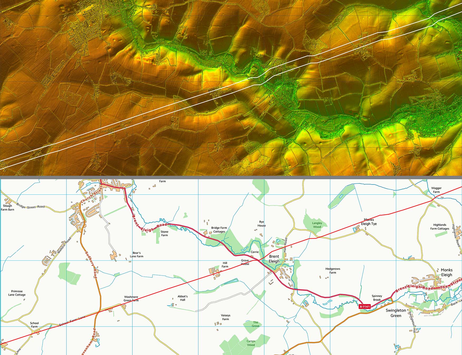
Lidar Image and Route Map 3 Just the slightest of kinks to negotiate the valley at Brent Eleigh. |
Click for larger view |
 |
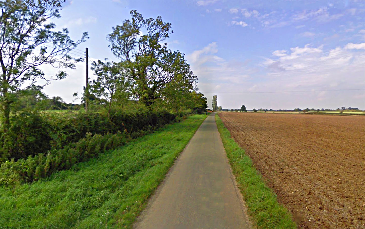
Washmere Green The modern road is dwarfed by the size of the Roman agger that it sits on. The Roman south ditch is way over to the left. Image: Google |
Click for larger view |
 |
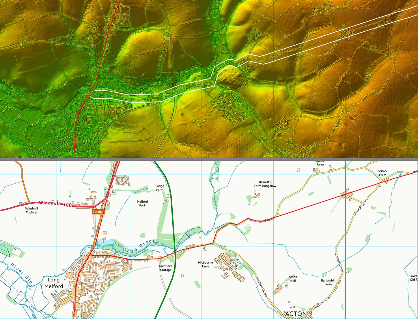
Lidar Image and Route Map 4 The approach to Long Melford is no longer a straight alignment - it would have have had to climb over a hill where today there are old sand pits. Passing to the north of the hill was most likely. The roads's overall alignment would suggest that it was aiming to approach Long Melford south of Chad Brook and finally along Bull Lane. |
Click for larger view |
 |
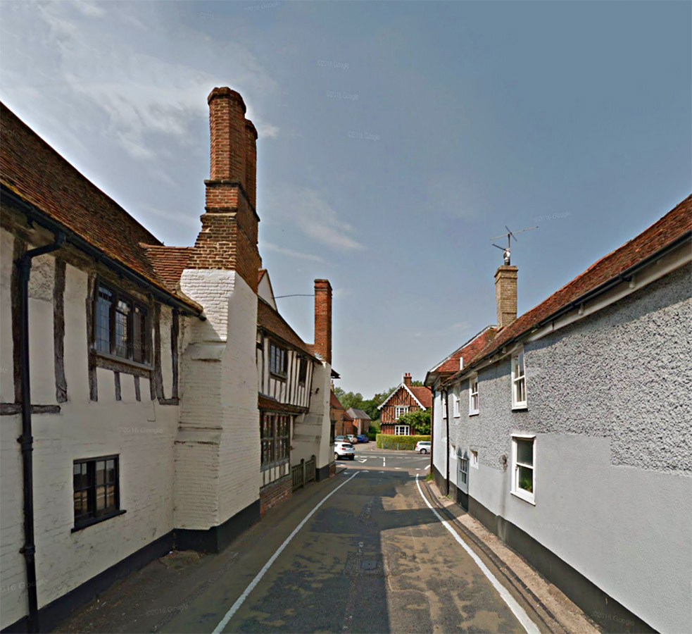
Bull Lane, Long Melford The Roman road probably entered Long Melford down Bull Lane where it would join up with the Roman road from Ixworth. Image: Google |
Click for larger view |
 |
|
|
|
Last update: March 2020 |
© David Ratledge |