 |
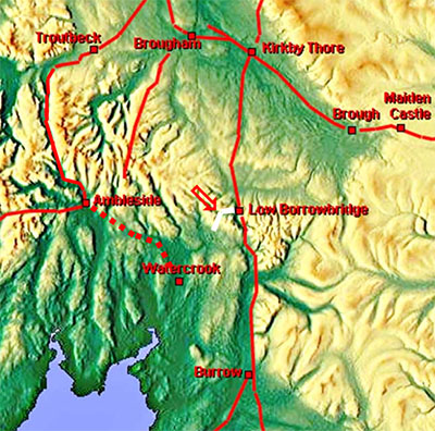
The Roman Road from Low Borrowbridge to Watercrook(?), Margary 707Not the most secure of Roman roads but as Margary recorded in his book then for completeness it is included here. The definitive work on this road was by Wilson - CWAAS 1884 - 133 years ago! A modern assessment is perhaps a touch overdue.
|
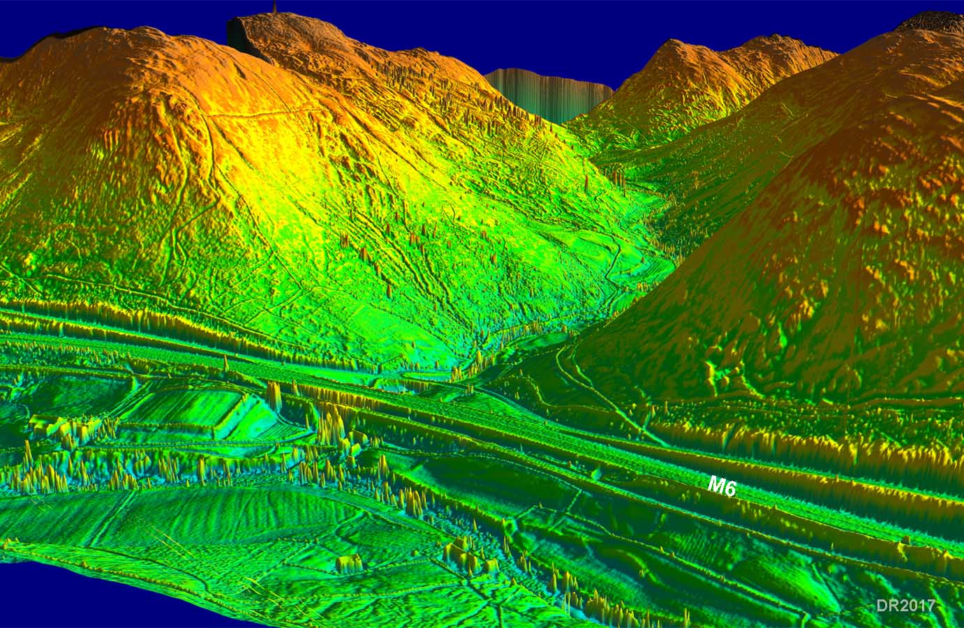
3D Lidar Image - Borrowdale looking west The location of the fort seems to have been chosen not only to guard the Lune Gorge but also the Borrowdale valley too. |
Click for larger view |
 |
Lidar Image - Wilson's route There is a track alongside the river in the valley bottoms before climbing up and over the Whinfell ridge. |
Click for larger view |
 |
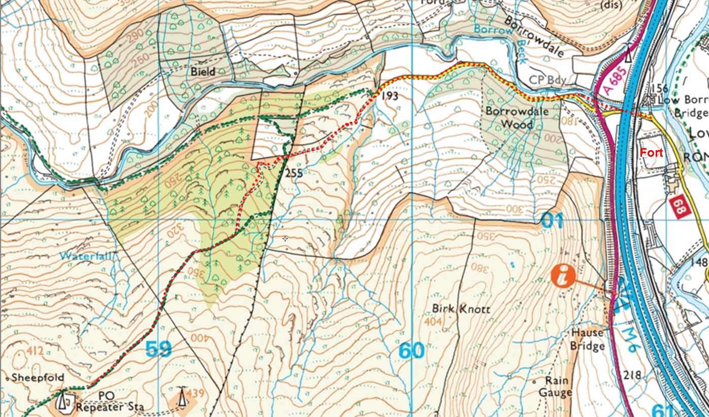
Route Map - according to Wilson After leaving the the valley road, the modern public right of way deviates from the old route but is easy enough to follow. |
Click for larger view |
 |
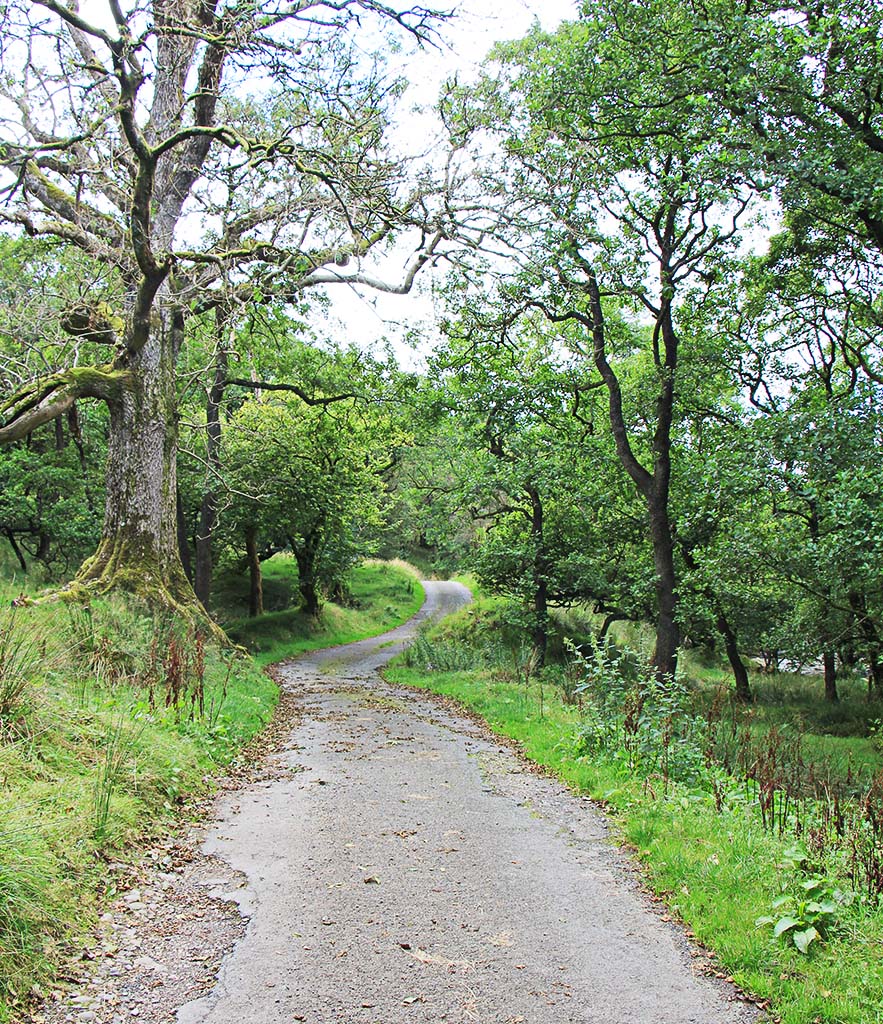
Borrowdale Valley The initial kilometre or so is along the road in the delightful Borrowdale valley. |
Click for larger view |
 |
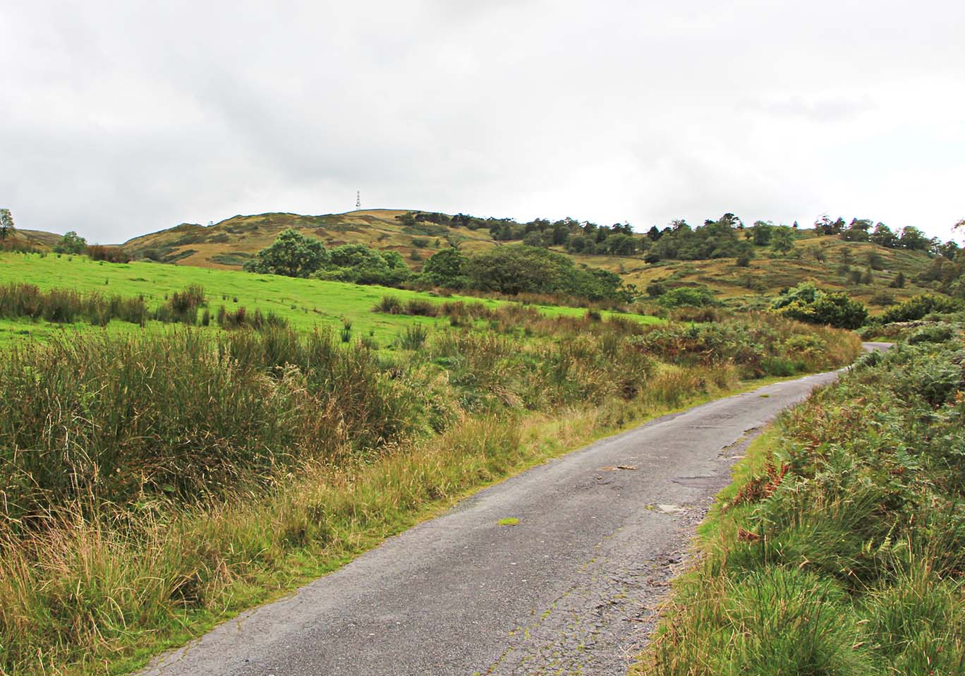
Borrowdale Valley After the trees this mast comes into view on the skyline - this is the route of the road. Note when I walked it there were two masts visible - it is the westerly (right-hand) one that the road heads for. |
Click for larger view |
 |
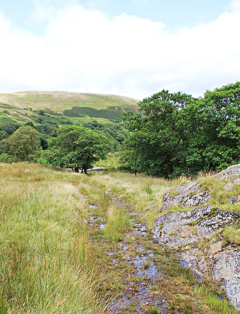
Start of the Ascent to Whinfell Fell Wilson is a bit vague as to where the road starts its climb but it must be this track. It leaves the road just after a bridge over a side stream. If there were a Roman agger here then it has been washed away.
|
Click for larger view |
 |
Dog-leg Ascent Yes it is typical of how the Romans got up steep hills but....... it is little more than a farm track. |
Click for larger view |
 |
Having reached the top of the Whinfell ridge at around 1500 feet, Wilson admired the view and took the road onwards via Whinfell Tarn and Borrans to Patton Bridge, Meal Bank and on to Spital on the A685. There are tracks and country lanes following this general direction but nothing that looks convincingly Roman under the scrutiny of Lidar. It has to be admitted that the modern A685 follows a much more practical route between Kendal and Low Borrowbridge. Sadly there must be a big question mark over the validity of this road. |
|
|
|
Return to Cumbria Roman Roads homepage Last update January 2018 |
© David Ratledge |