
|
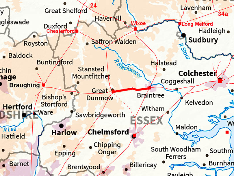
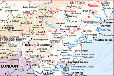
Stane Street - Braintree to Great DunmowMargary Number: 32Distance: 8.1 miles Stane Street continues on west of Braintree through Rayne to the Roman Settlement at Great Dunmow.
|
Historic Counties: Essex Current Counties: Essex HER: Essex
|
|
|
|
|
|
Lidar Image - Full Route Ostensibly 3 alignments although there some minor direction changes here and there. |
Click for larger view
|
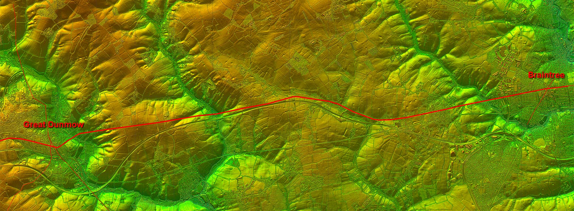 |
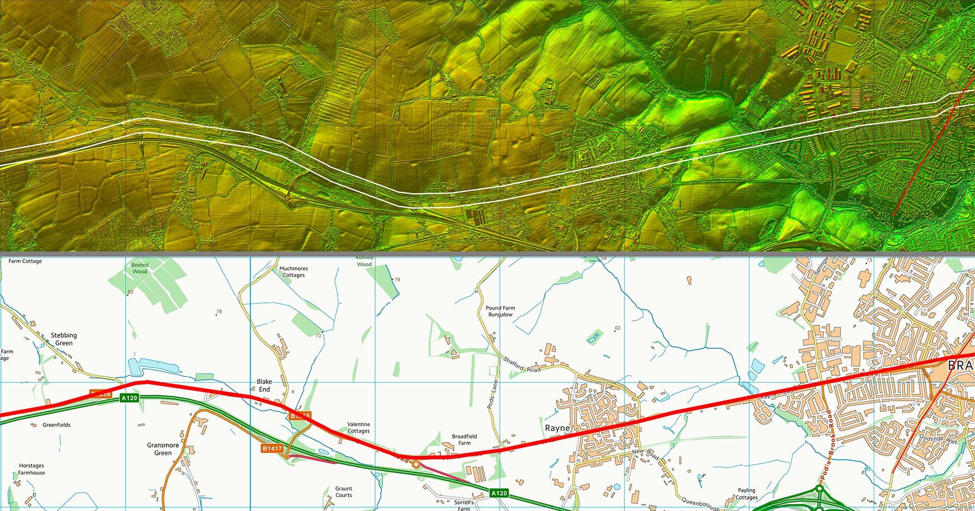
Oblique 3D Image - Braintree The alignment from east of Braintree is continued through Rayne before a direction change along the valley side before changing again for Great Dunmow. |
Click for larger view |
 |
Lidar Image and Route Map 1 The alignment from east of Braintree is continued through Rayne before a direction change along the valley side before changing again for Great Dunmow. |
Click for larger view |
 |
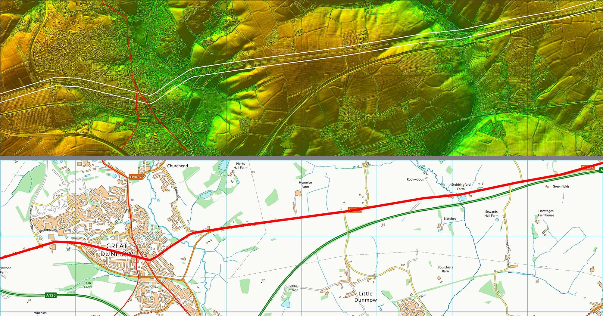
Lidar Image and Route Map 2 The alignment approaching Great Dunmow seems to be aligned on the high ground to the west of the Roman site. However, the actual road dog-legs into the settlement area. This arrangement is not uncommon. |
Click for larger view |
 |
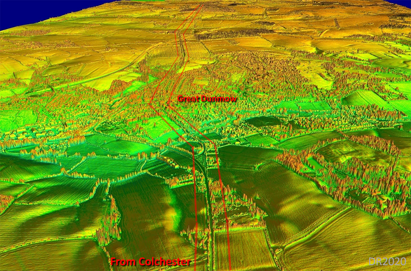
Oblique 3D Image - Great Dunmow The reason for the dog-leg at Great Dunmow is possibly because of the location of the Roman settlement that the road has to serve. There would almost certainly have been a bridge over the River Chelmer. |
Click for larger view |
 |
Lidar Image - Great Dunmow Roman Settlement The Roman settlement area appears to have been mainly to the west of the road junction. It is likely that Stane Street predated the other later roads which then avoided the already settled area. Settlement area is shaded in yellow and is taken from Wickenden although the road to London I have shown in a different location based on Lidar and old mapping.. Ref: Excavations at Great Dunmow, Essex: a Romano-British small town in the Trinovantian Civitas, N.P. Wickenden, EAA 41 (1988)
|
Click for larger view |
 |
|
|
|
Last update: July 2020 |
© David Ratledge |