
|
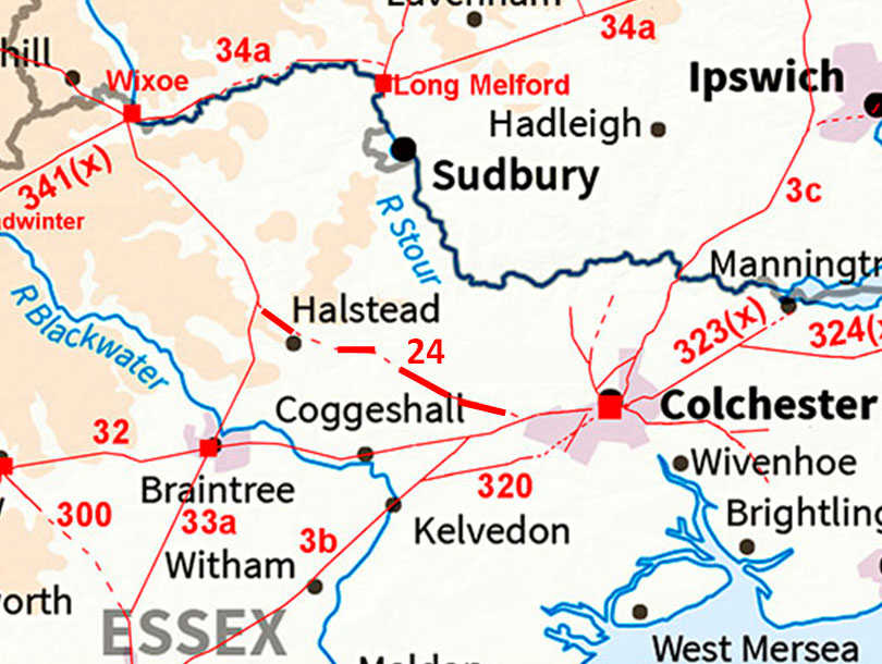
The Possible Roman Road from Colchester to Braintree CornerMargary Number: 24Distance: 12 miles approx. An obvious connection but the evidence is not the strongest hence I have labeled it "possible". Supposedly part of the "Via Devana" a Roman road linking Colchester to Chester (Deva). However, the Via Devana was an 18th century concoction. This section would seem a logical connection to the north-west. |
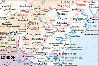
Historic Counties: Essex Current Counties: Essex HER: Essex
|
|
|
|
|
|
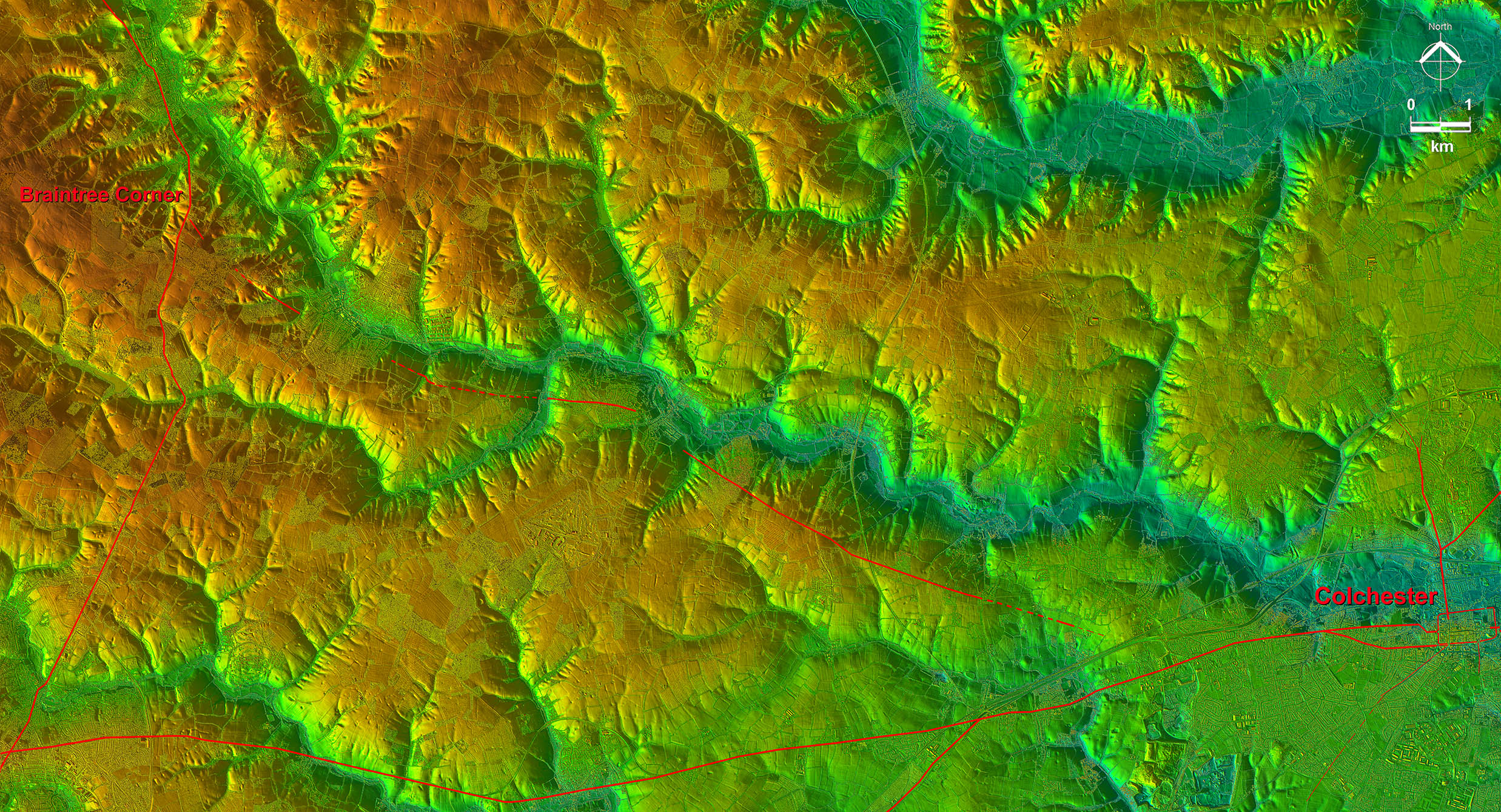
Lidar Image - Full Route Clearly keeping to the south side of the Colne Valley - as would be expected.- where it would then join the Roman road from Braintree to Wixoe. |
Click for larger view
|
 |
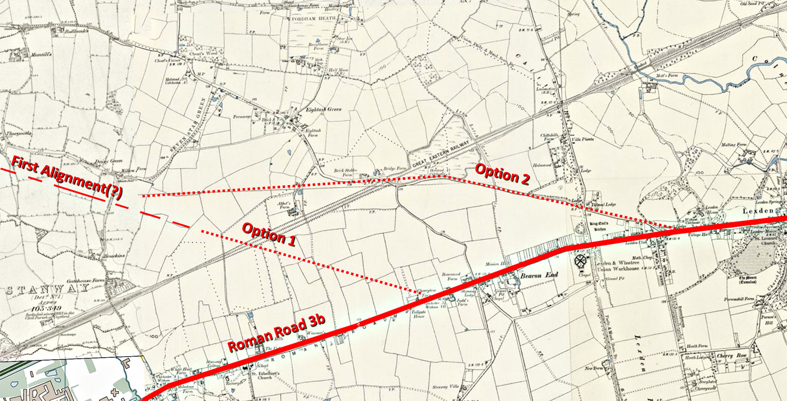
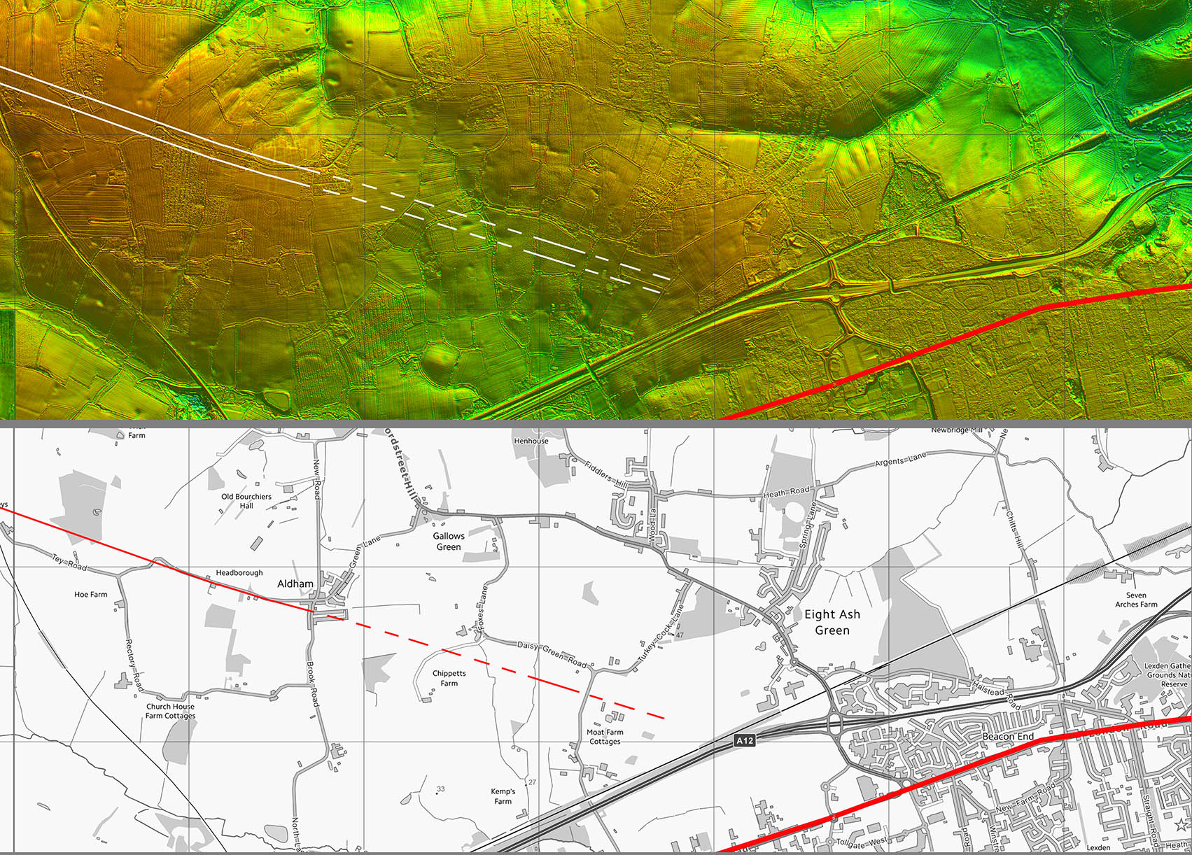
Starting Point of the RR24 - Options Our road clearly was a branch of RR3b but exactly where is the issue. Back projecting the alignment from further west shows nothing in the Lidar (option 1). The alternative is Halstead Road, the initial section of which looks a viable contender. It would need to angle across to get onto the main alignment. Mapping: OS First Edition from National Library of Scotland. |
Click for larger view |
 |
Oblique 3D Lidar Image - Main alignment passing Great Tey On firmer ground here. Where the modern road bends off to the left there are indications of agger like features continuing the straight alignment. There follows a little sidestep at the head of a valley before continuing in the direction of Chalkney Wood. |
Click for larger view |
 |
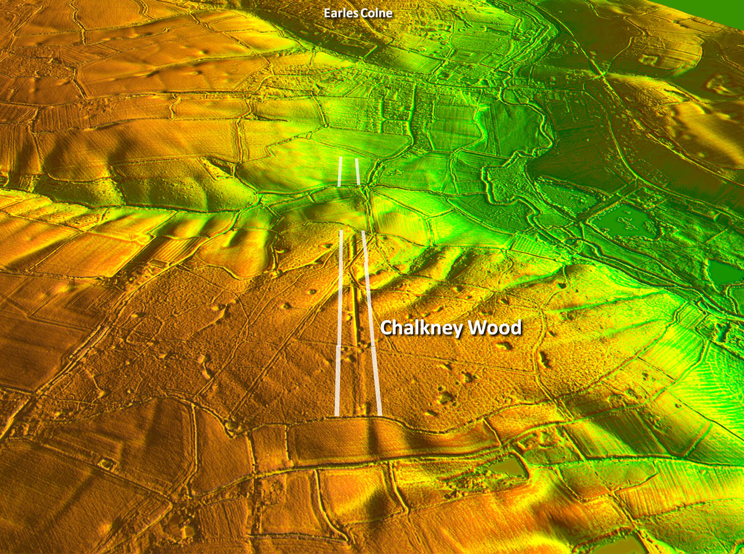
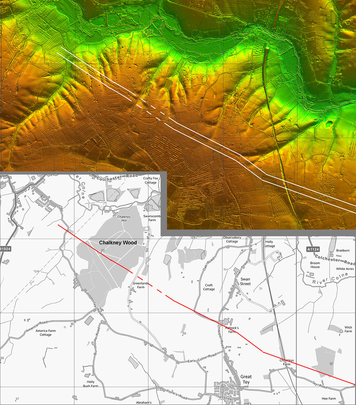
Oblique 3D Lidar Image - Chalkney Wood This is the straight feature in Chalkney Wood. It looks Roman but somewhat oddly goes from agger to cutting to agger to cutting. Beyond the wood there appears to be a faint feature which aligns with it perhaps supporting the Roman road theory. it is unusual though. This is a DTM lidar image with all the trees of the wood stripped away |
Click for larger view |
 |
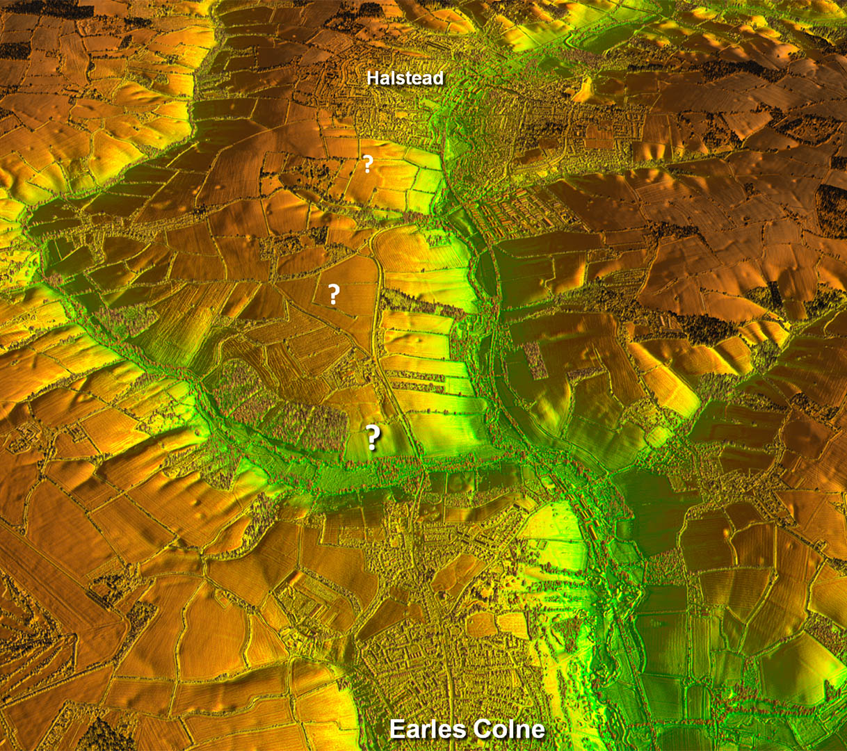
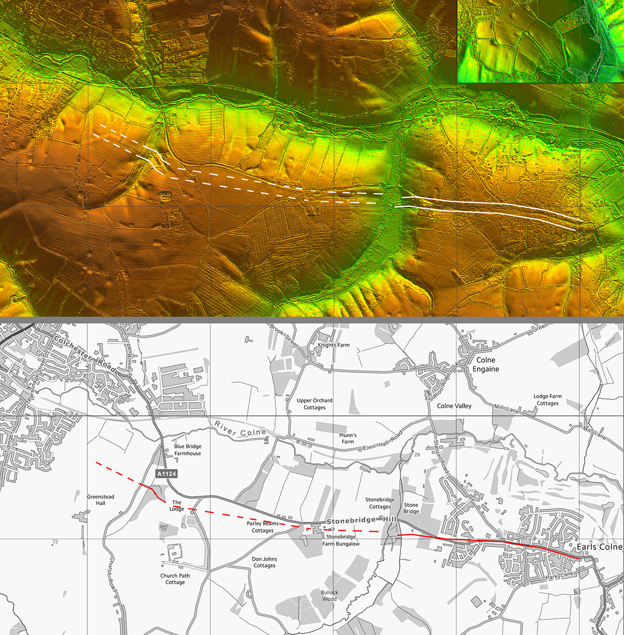
Oblique 3D Lidar Image - Earles Colne to Halstead After the prominent feature in Chalkney Wood then on the other side of Earles Colne virtually nothing. Really guesswork extending the route to Halstead. |
Click for larger view |
 |
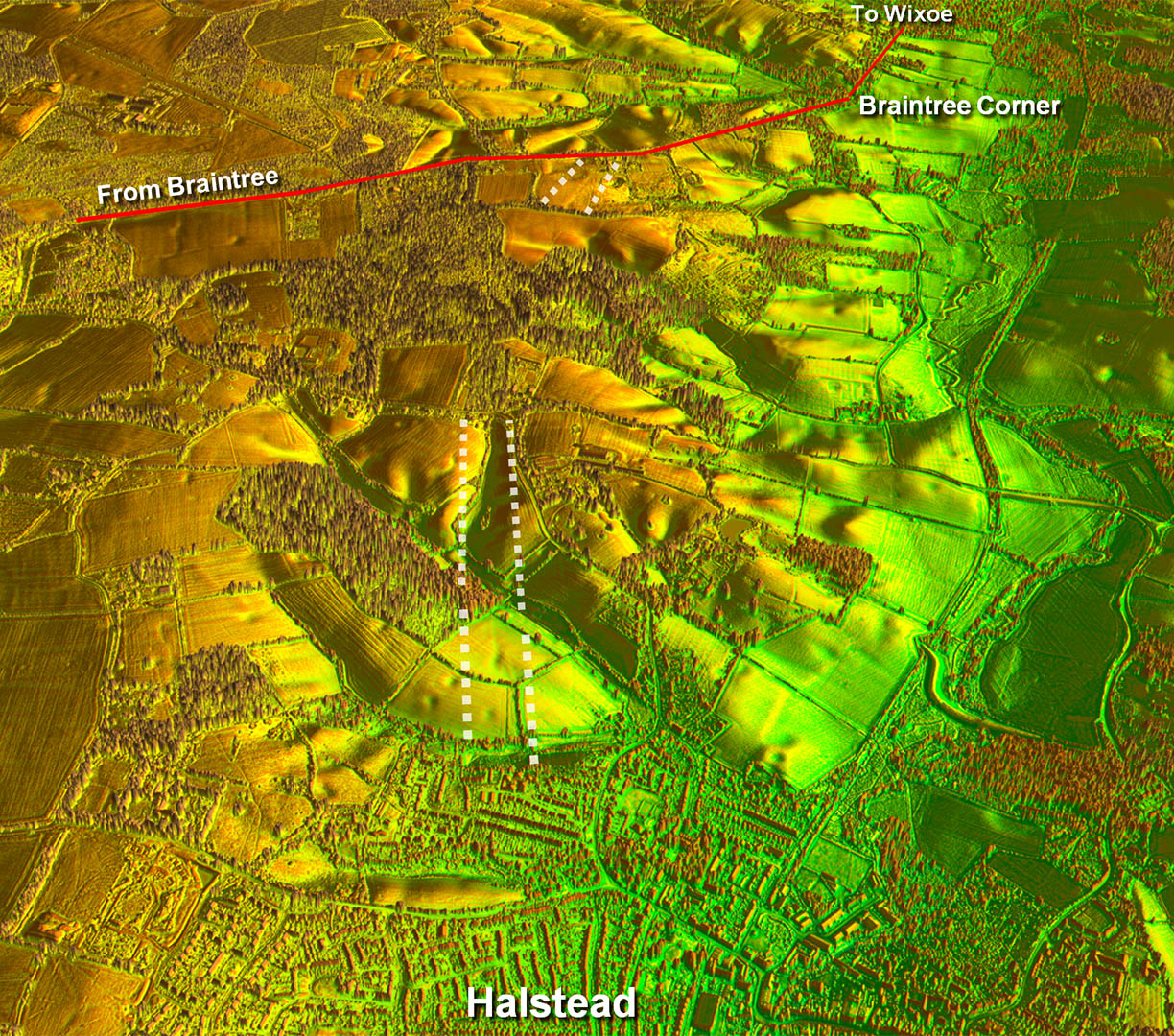
Oblique 3D Lidar Image - Halstead to Braintree Corner A little better north of Halstead but still struggling. These last two sections are why I have place this road in the "possible" category. Needs more evidence for me. |
Click for larger view |
 |
Lidar Image and Route Map 1
|
Click for larger view |
 |
Lidar Image and Route Map 2
|
Click for larger view |
 |
Lidar Image and Route Map 3
|
Click for larger view |
 |
Lidar Image and Route Map 4
|
Click for larger view |
 |
|
|
|
Last update: March 2025 |
© David Ratledge |