
|
The Roman Road(s) from Colchester to the South-EastMargary Number: NoneDistance: ?? miles Fairly high confidence that there are two roads heading to the south-east from Colchester. However in both cases their destinations are unknown. The lidar clues simply run out. |
Historic Counties: Essex Current Counties: Essex HER: Essex
|
|
|
|
|
|
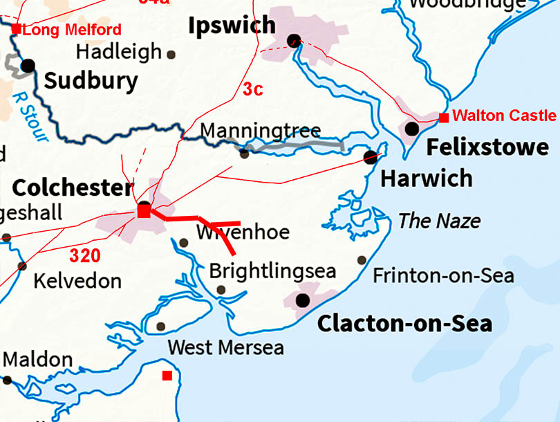
Lidar Image - Full Route The more southerly road probably has a destination somewhere in the vicinity of Brightlingsea or St Osyth. perhaps more likely the latter where there have been Roman finds. The other, more easterly route, then perhaps somewhere on the Naze. |
Click for larger view
|
 |
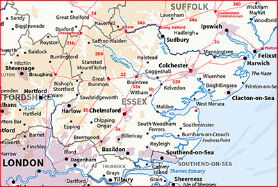
Map - Full Route I have included a modern map showing the routes but more work is needed to resolve the issues here. |
Click for larger view |
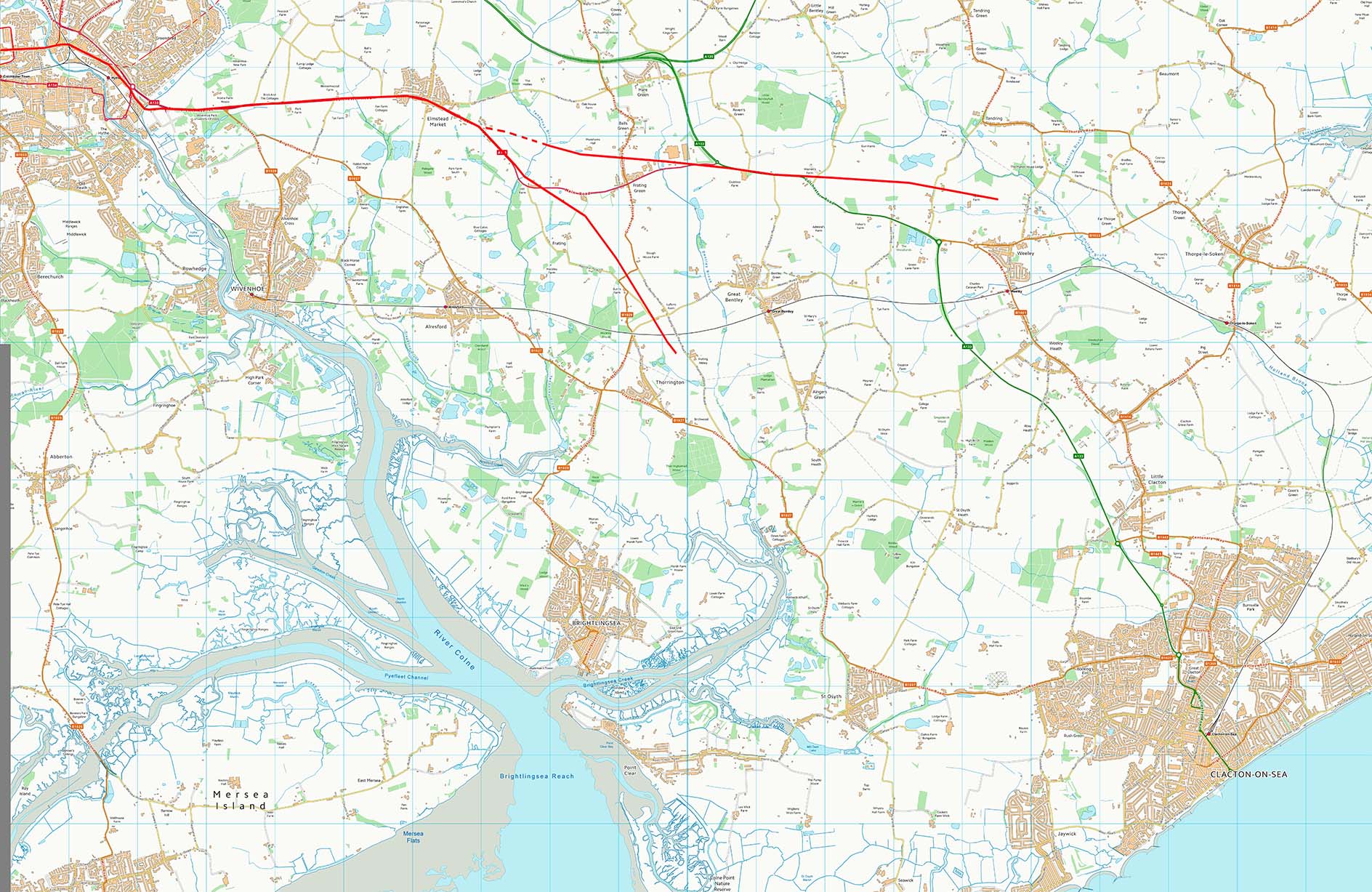 |
Elmstead Market Both routes go through the centre of Elmstead Market (A133) before they diverge. |
Click for larger view |
 |
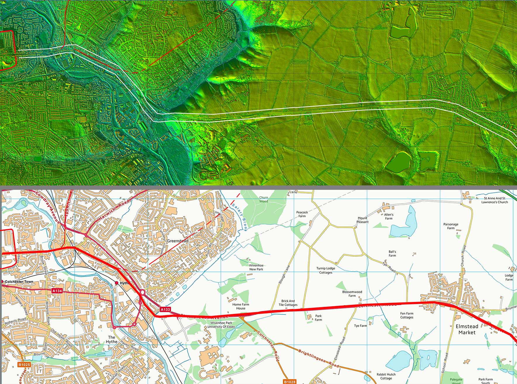
Lidar Image and Route Map 1 This is the common section for both routes. Initially it could have shared a common road with the Lawford House road. Beyond Greenstead our roads probably are overlaid by the A133 to just beyond Elmstead Market. |
Click for larger view |
 |
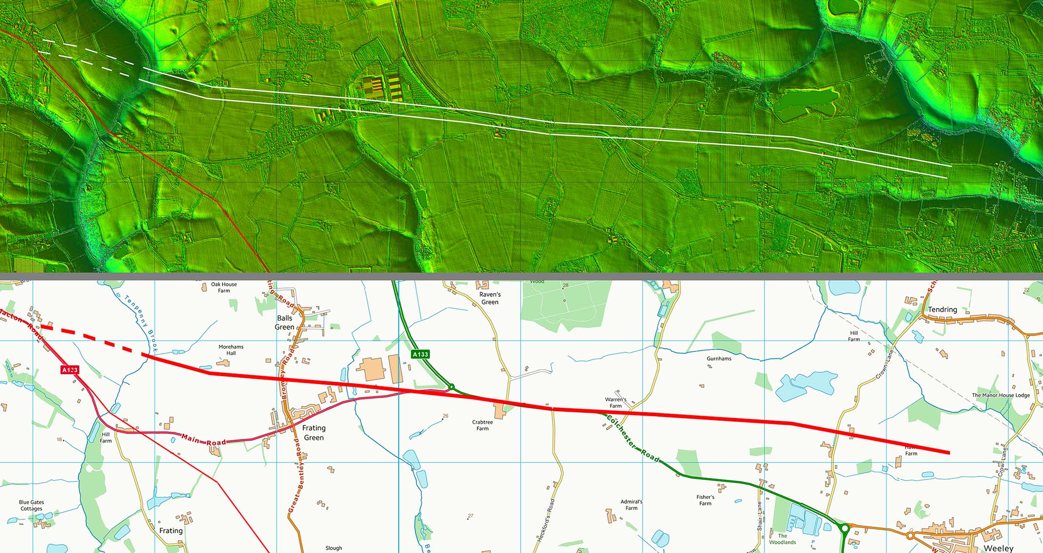
Lidar Image and Route Map 2 Just before Tenpenny Brook our routes split. The Lidar evidence is reasonable as far as just to the north of Wheeley where it runs out. |
Click for larger view |
 |
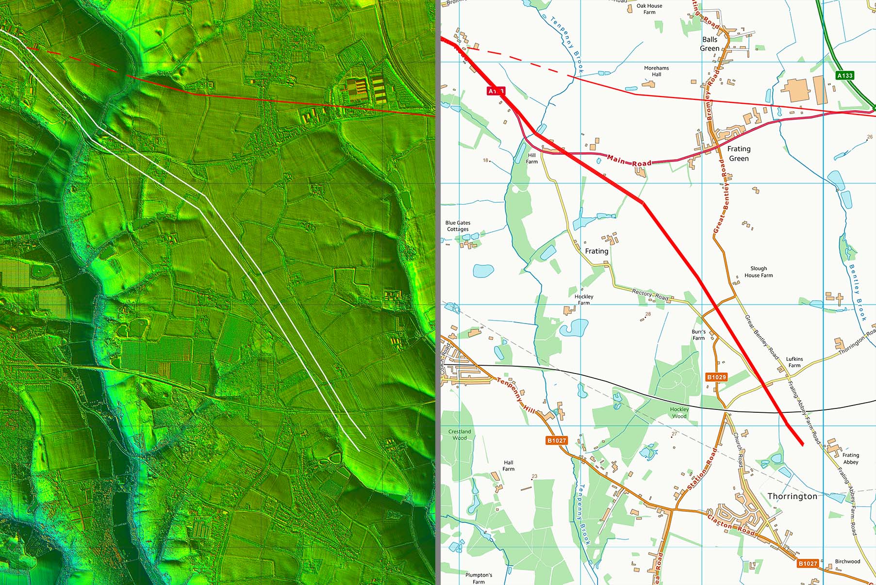
Lidar Image and Route Map 3 Again reasonable lidar evidence, this time just beyond the railway line at Thorrington. projecting the direction onwards would suggest perhaps St Osyth is the likely destination. |
Click for larger view |
 |
|
|
|
Last update: July 2020 |
© David Ratledge |