
|
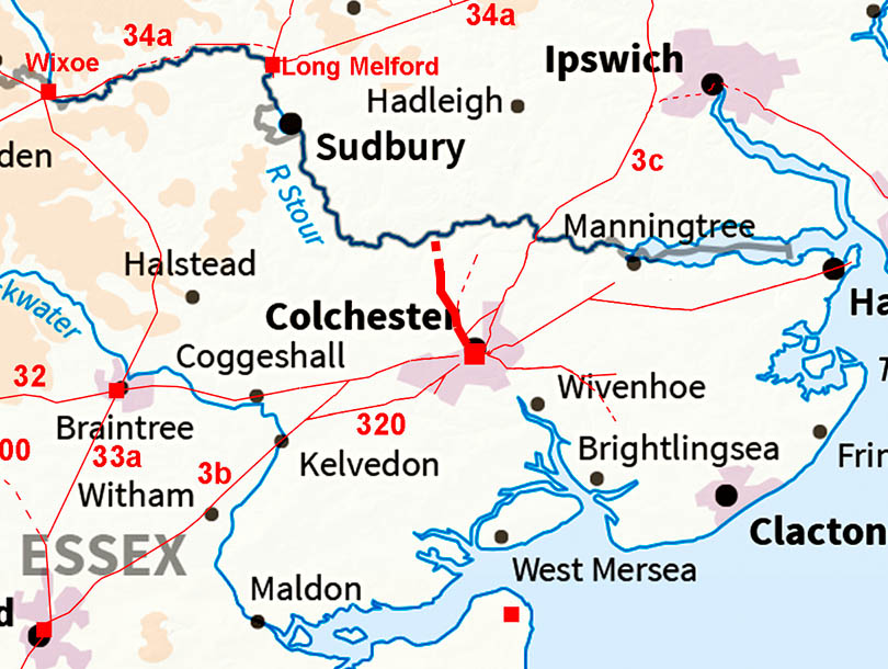
The Roman Road(s) from Colchester to the NorthMargary Number: NoneDistance: ?? miles A Roman road from Colchester northwards towards Nayland looks obvious but beyond there then the evidence becomes almost non-existent. A branch of this road is also likely but perhaps this was just a local road. |
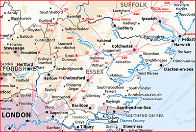
Historic Counties: Essex Current Counties: Essex HER: Essex
|
|
|
|
|
|
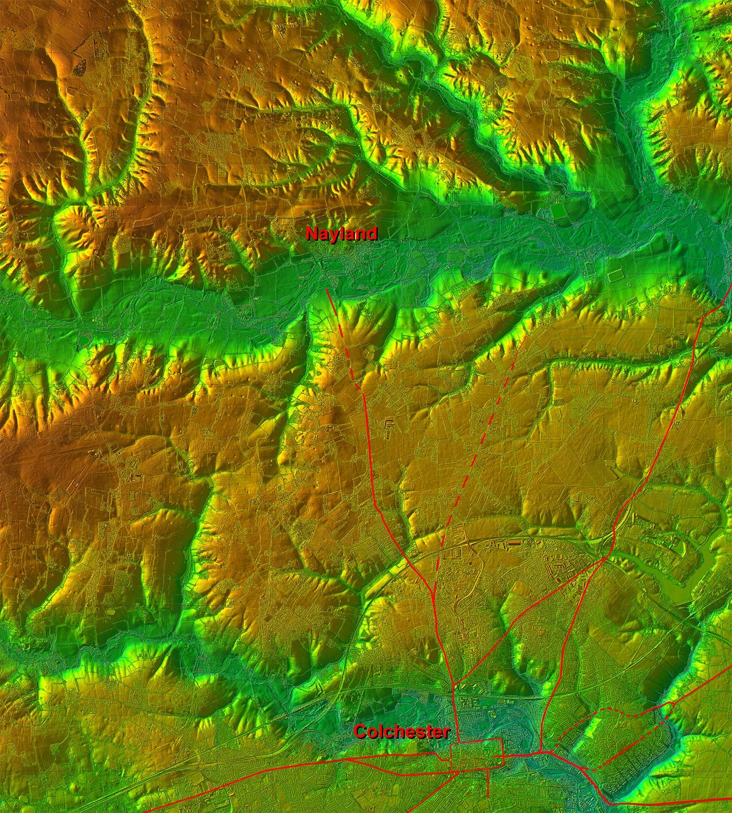
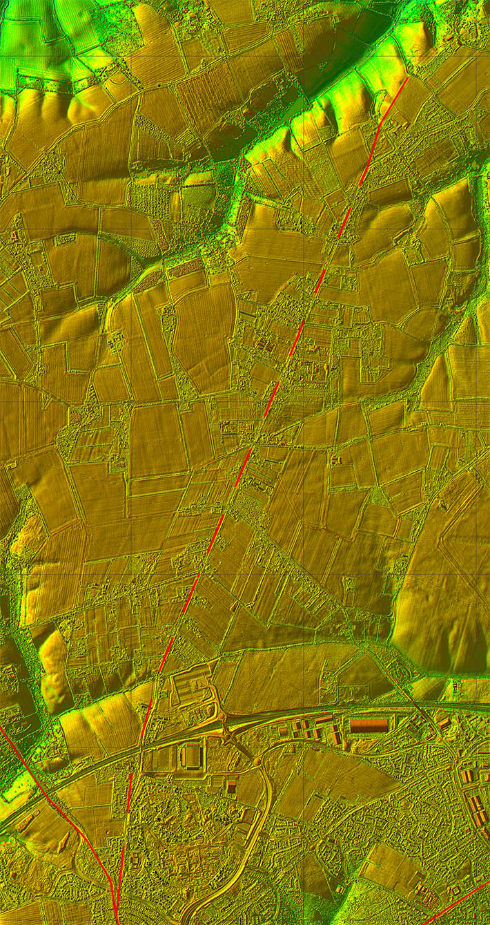
Lidar Image - Full Route Is it just a local route or a road heading for Long Melford? |
Click for larger view
|
 |
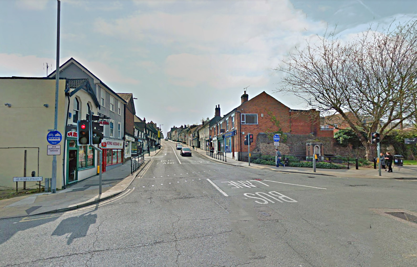
Colchester North Gate - Site Of Not the most attractive of entrances but remains of the city walls survive to the right in this image. Amazingly a small fragment of the walls survives on the left too - squeezed beyond the kebab shop and the next building. |
Click for larger view |
 |
Lidar Image and Route Map 1 Mile End Road follows the Roman alignment to Mile End where the road forks left for Horkesley Heath. |
Click for larger view |
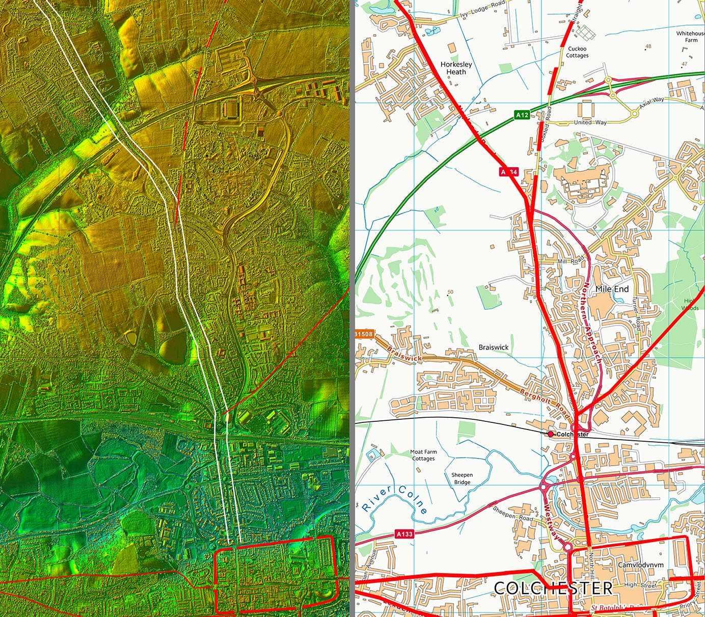 |
Mile End Road Junction The junction of the two probable roads north. Today very much altered by new roadworks. Left is the road to Great Horkesley and right is to Boxted |
Click for larger view |
 |
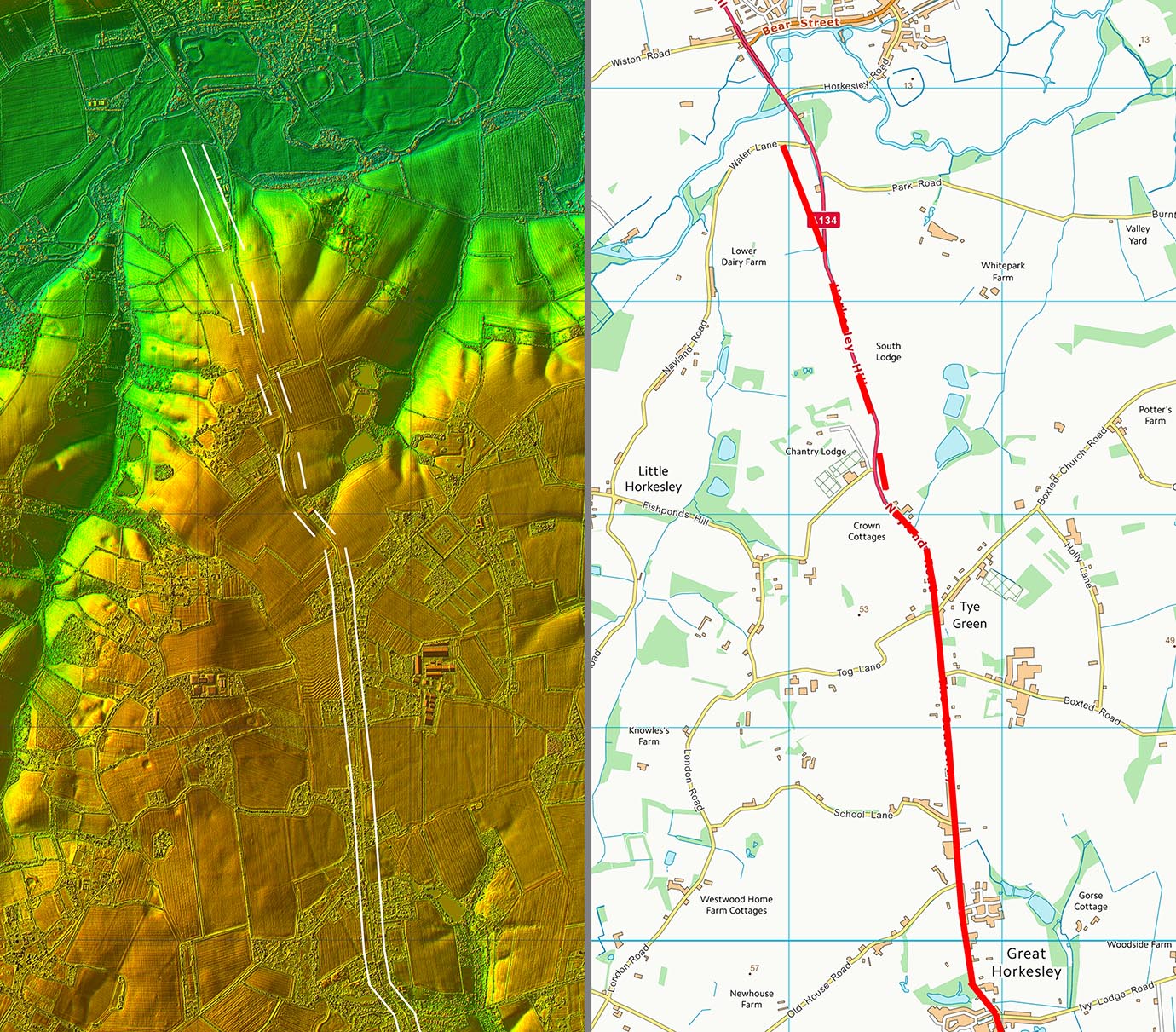
Lidar Image and Route Map 2 At Great Horkesley our road is marked as "Roman Road" on modern OS maps. The dog-leg at Crown Cottages looks a bit odd but the Lidar shows it is a sensible course to avoid the valley there. Clues run out at the River Stour crossing and so far nothing the north bank has been spotted for its continuation onwards. |
Click for larger view |
 |
Lidar Image - Possible Branch Road North of Mile End the road to Boxted forks off. This is called Straight Road but again clues run out approaching the River Stour. Perhaps this was just a local Roman road? |
Click for larger view |
 |
|
|
|
Last update: July 2020 |
© David Ratledge |