|
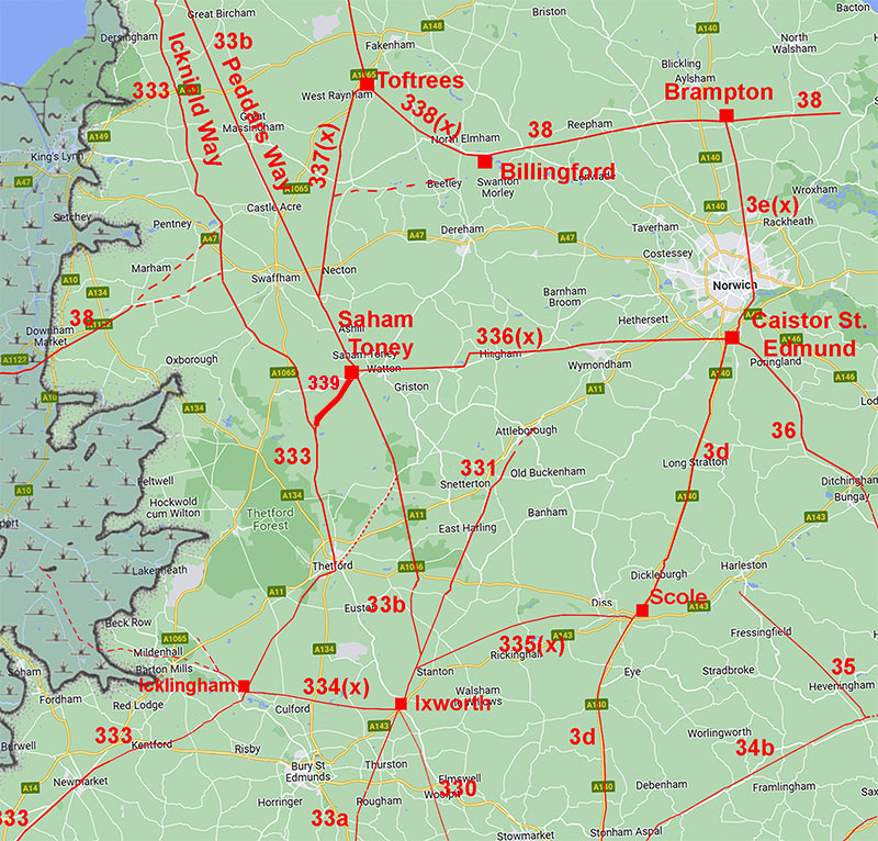
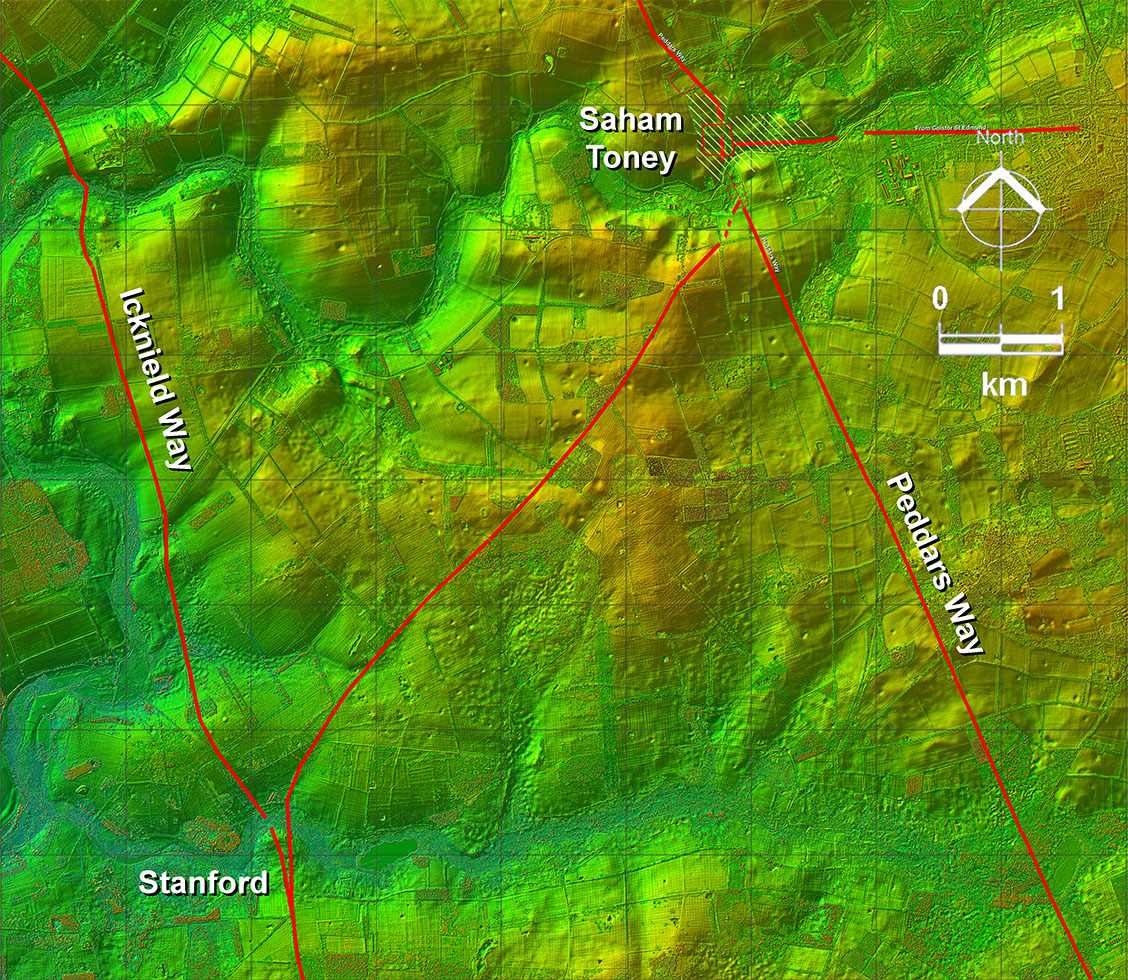
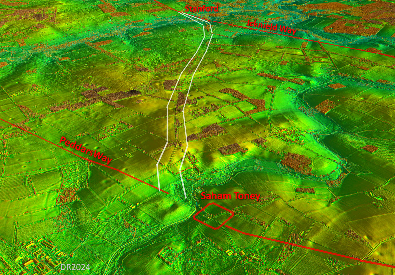
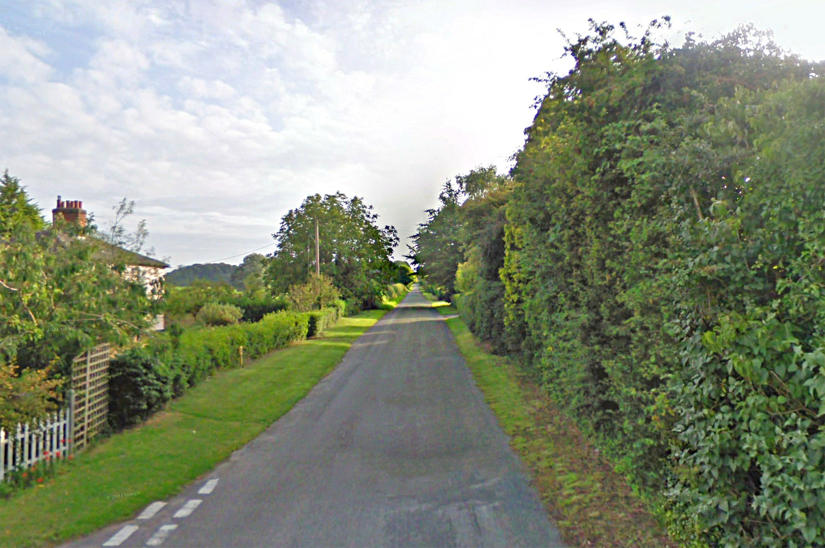
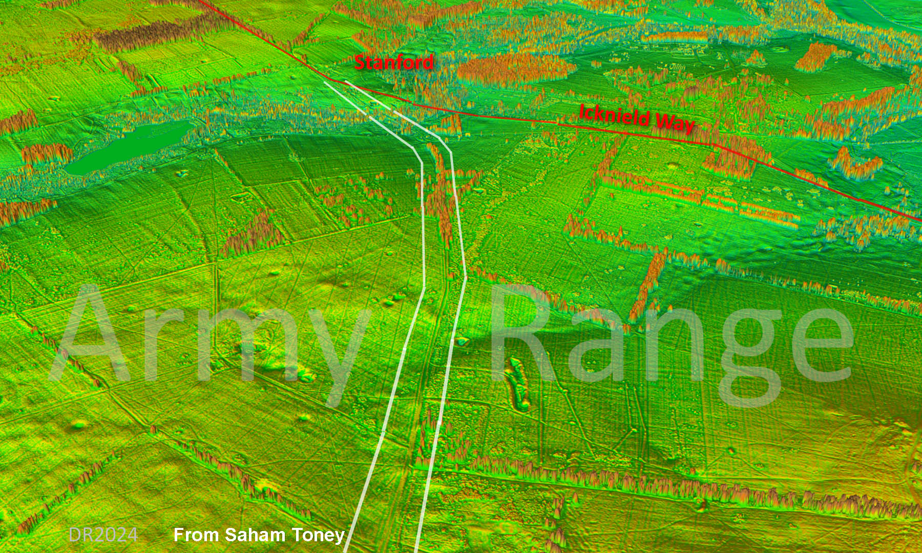
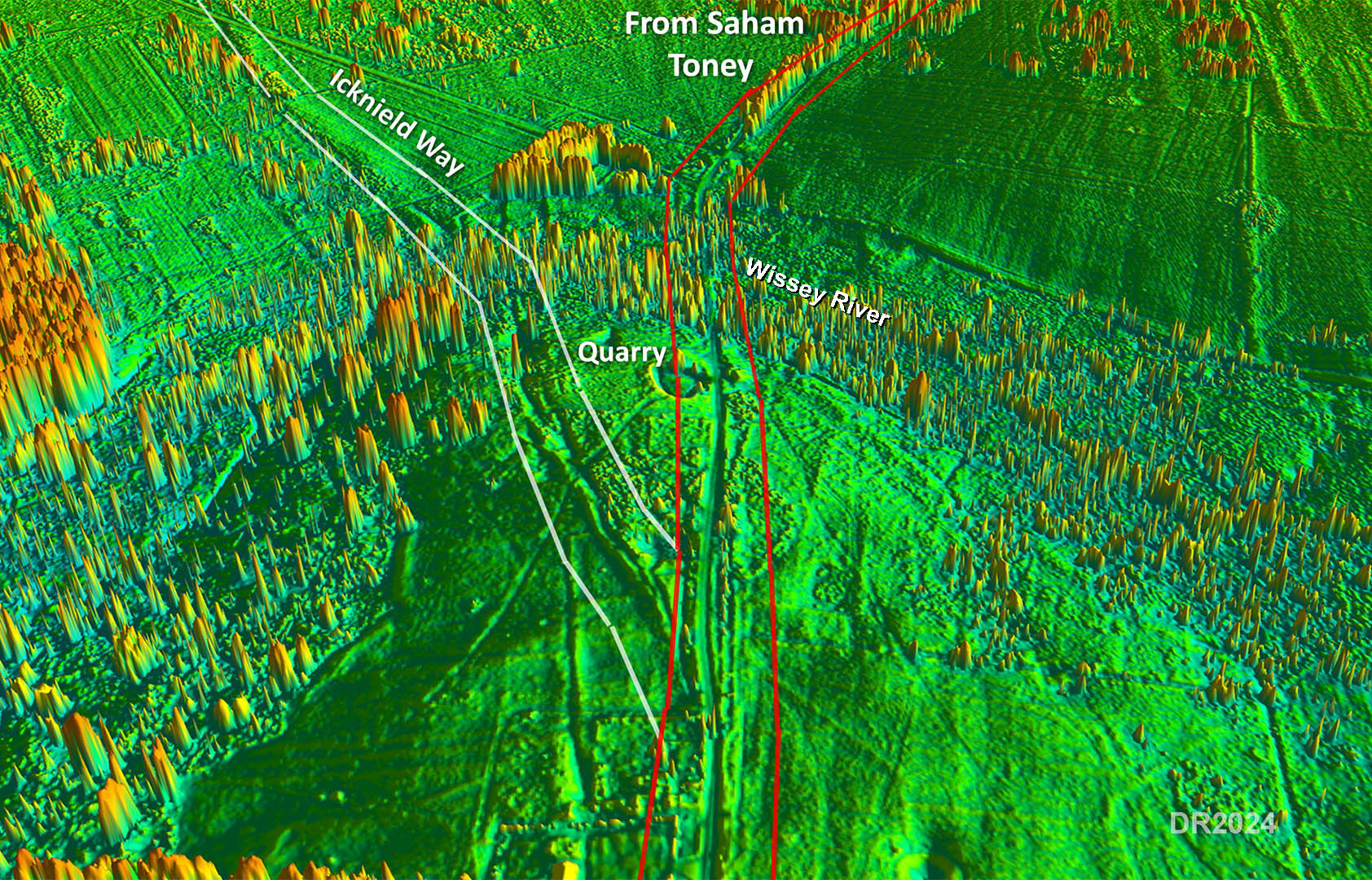
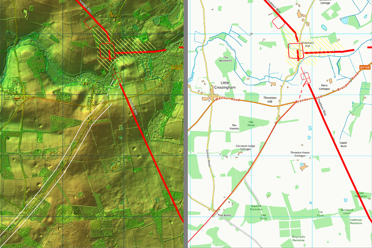
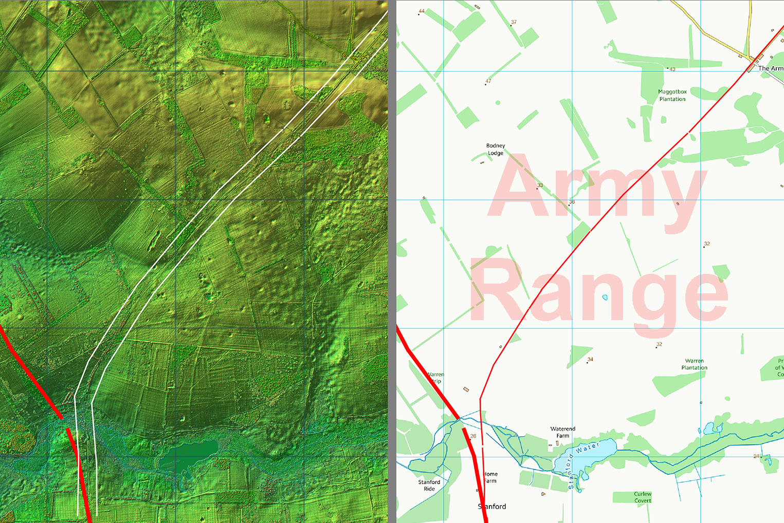
The Roman Road from Saham Toney to StanfordMargary Number: 339x - RRRA unofficialDistance: 4.25 milesAlmost certainly a Roman road connecting Saham Toney to Stanford on the Icknield Way. The latter is omitted from the Ordnance Survey's Roman Britain map but the presence of up to 9 villas along it in Norfolk rather suggests it was at least used by the Romans. This link features several straight alignments with the northernmost ones clearly aligned on the Saham Toney/Threxton Roman settlement.This alignment is strong evidence as to its likely Roman authenticity. Much of the route is unfortunately inaccessible due to the presence of Army Ranges. The connection to Icknield Way is also suggestive of it being Roman in that it does not utilise what would have been a ford on the Icknield Way but instead takes a direct line south over what surely was a Roman bridge at Stanford. For a detailed route maps see the bottom of this page. |
Historic Counties: Norfolk Current Counties: Norfolk HER: Norfolk
|
|
|
|
|
|
|
|
|
Last update: August 2024 |
© David Ratledge |
